Matthew Arnold
Topography Is Fate—North African Battlefields of World War II
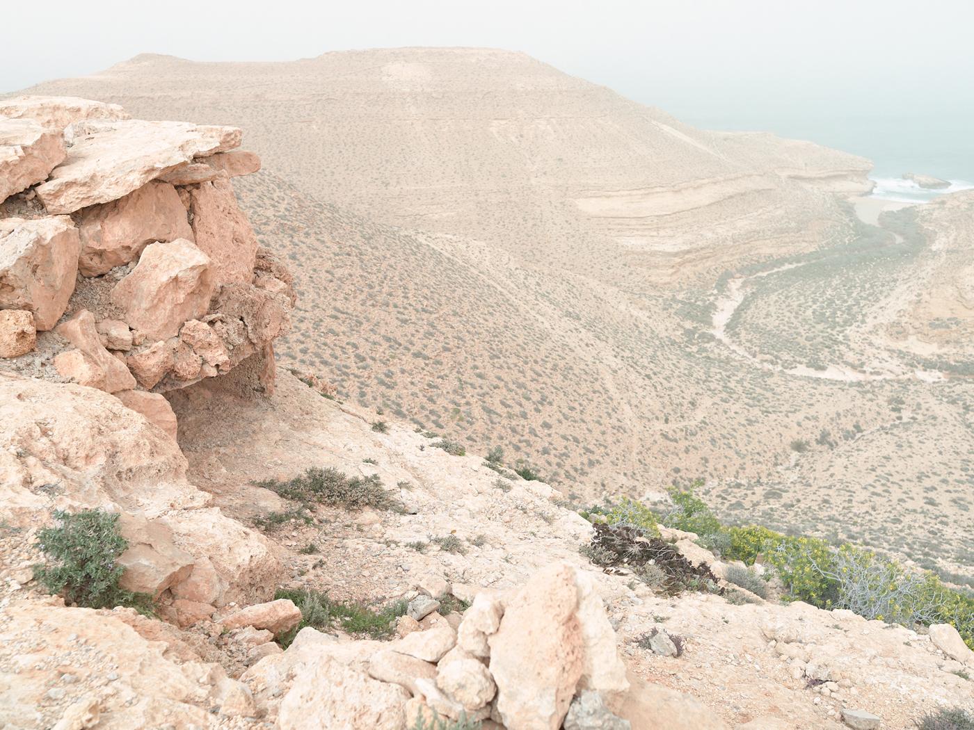
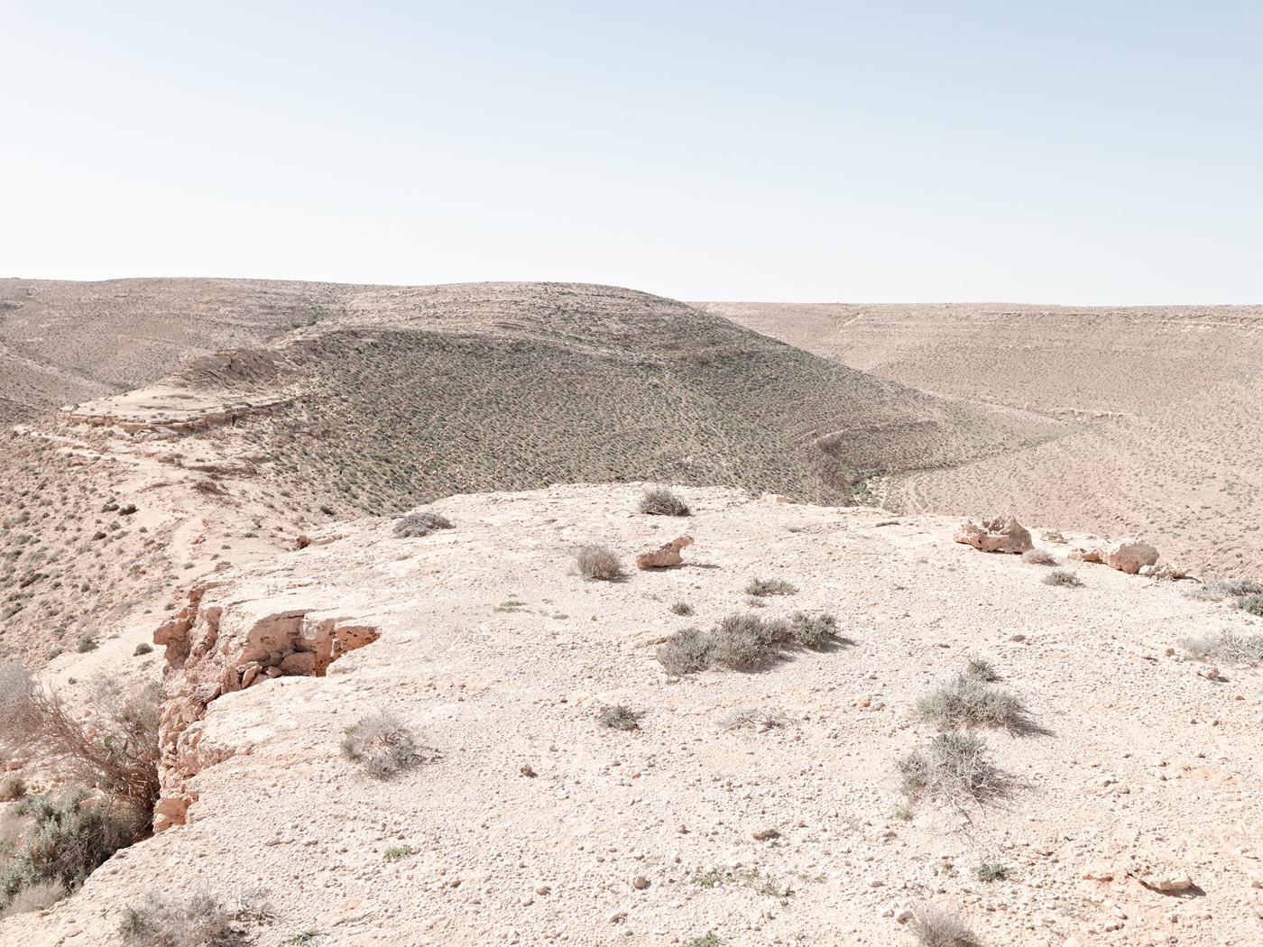
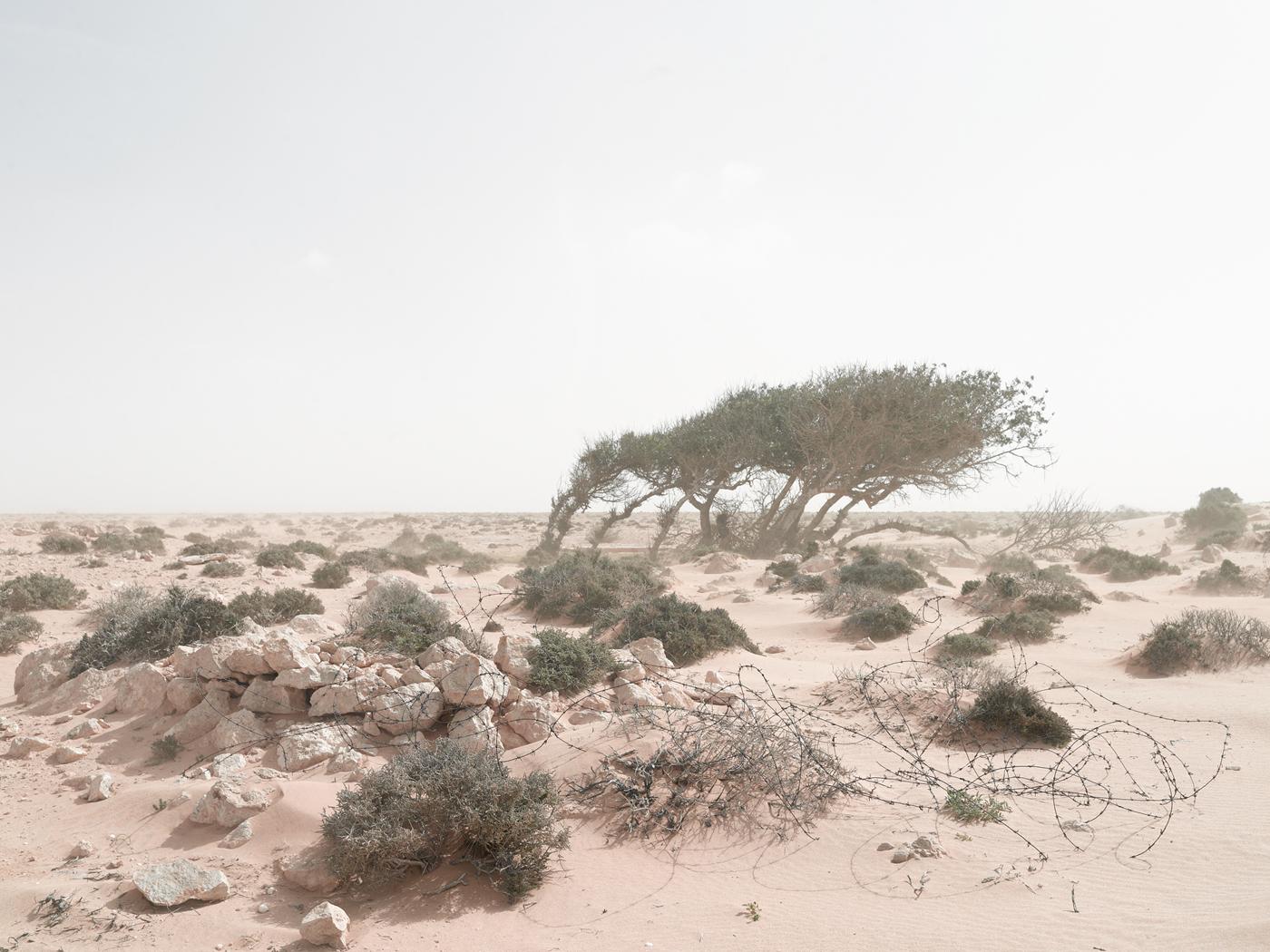
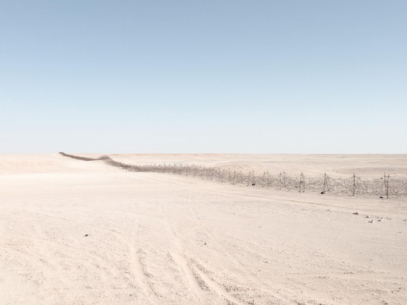
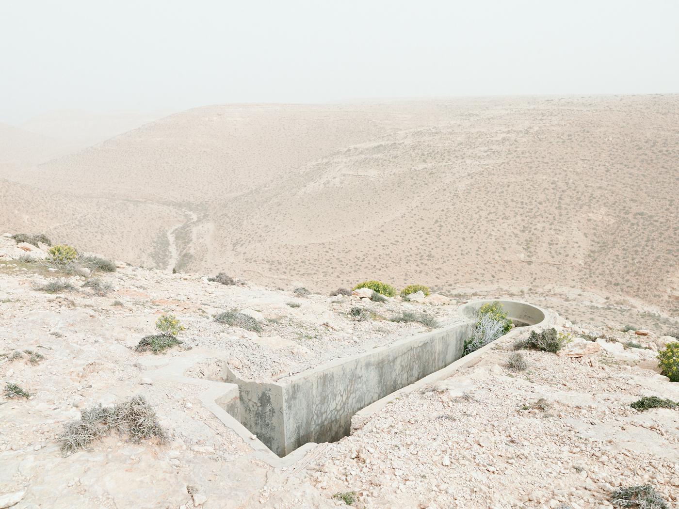
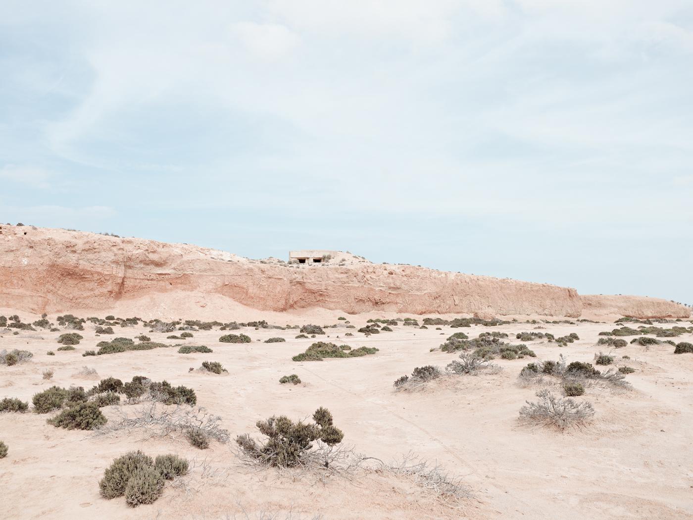
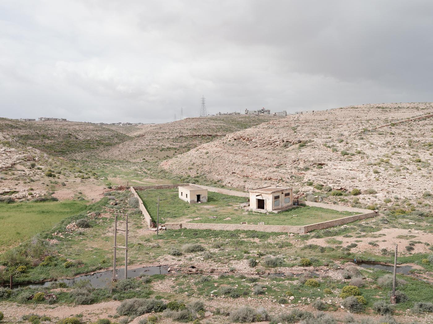
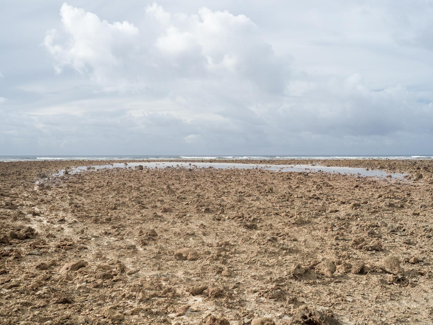
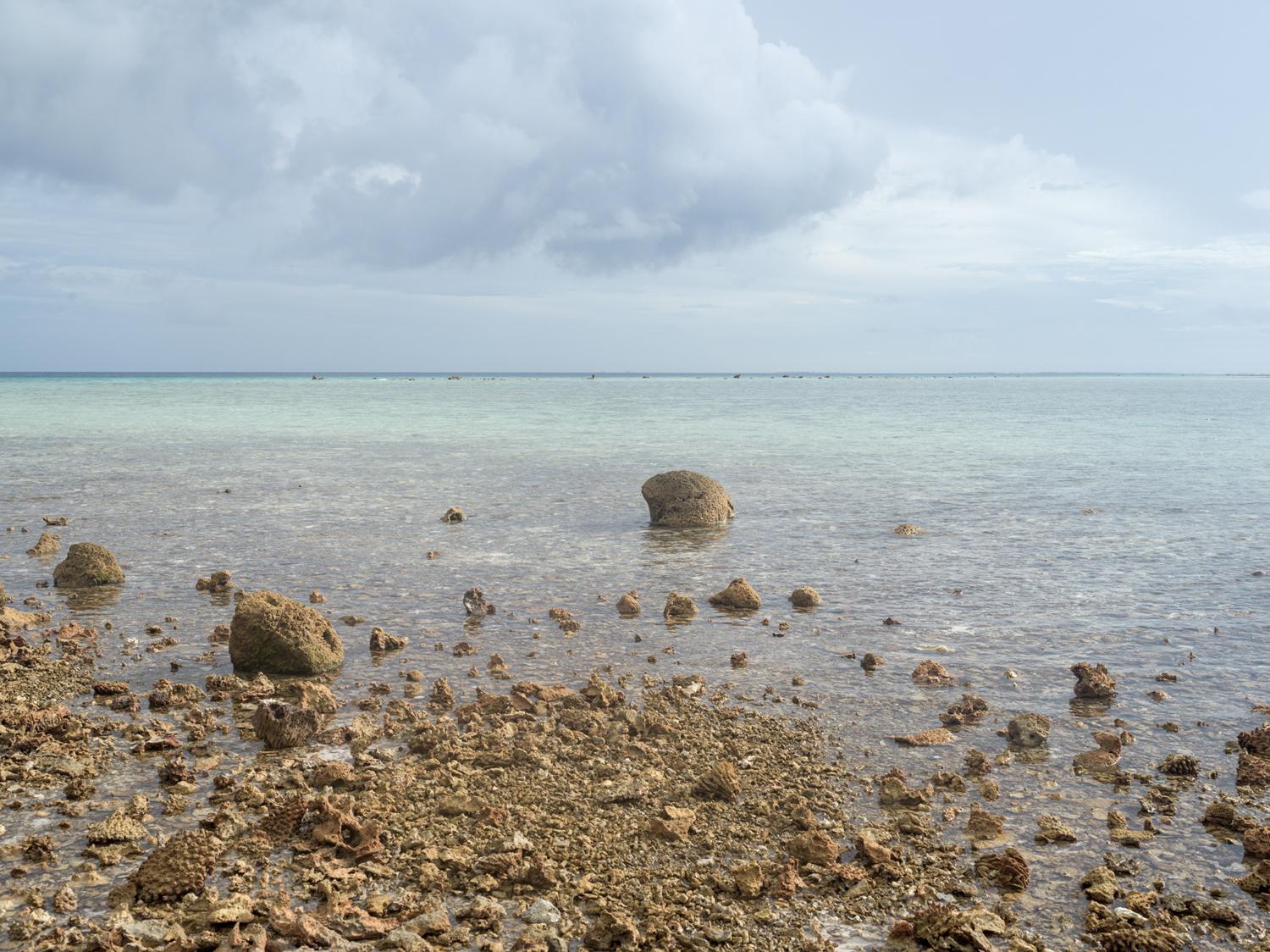
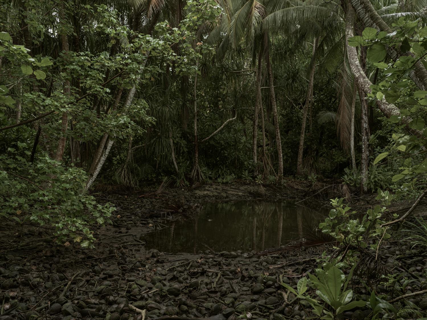
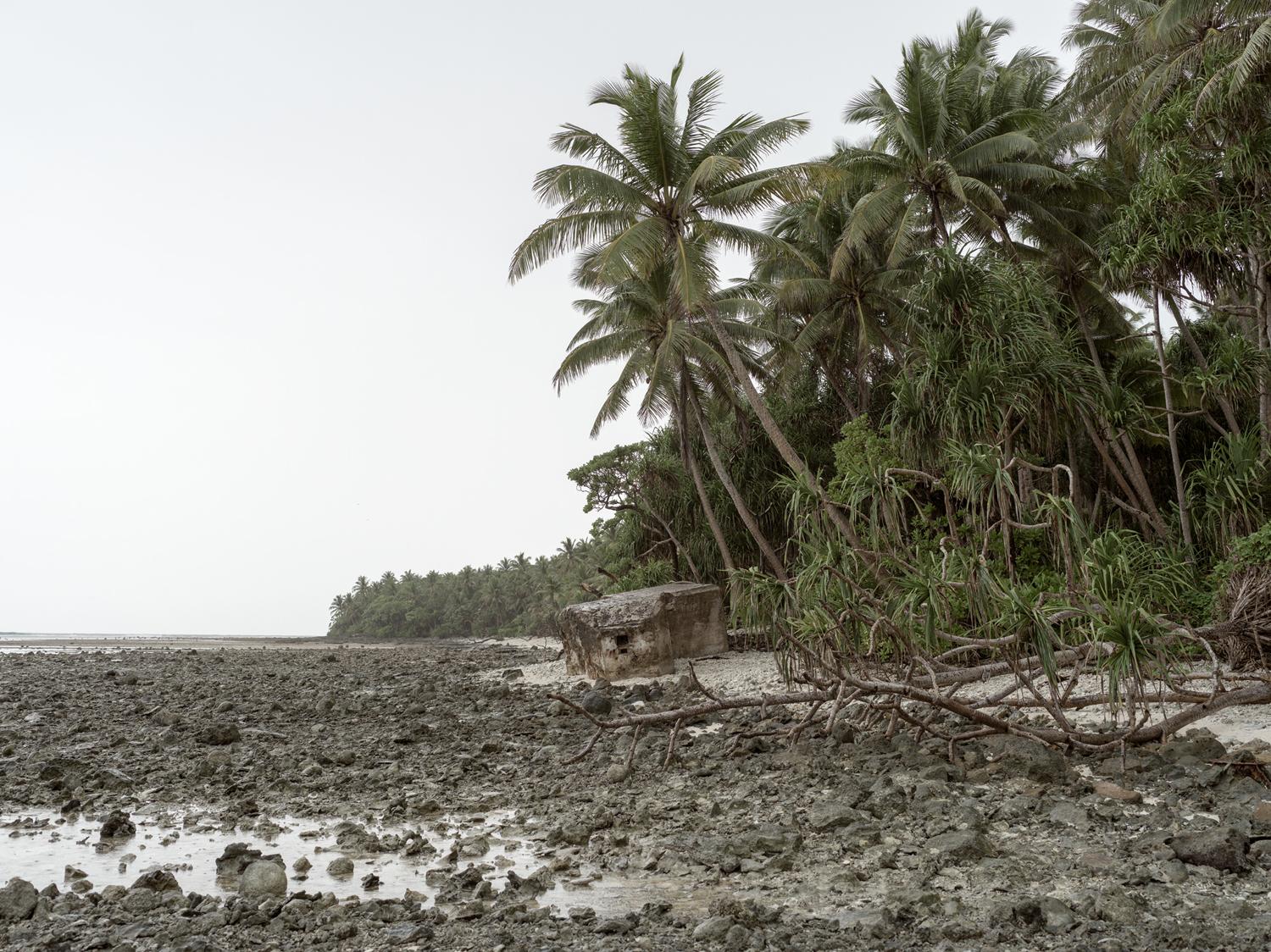
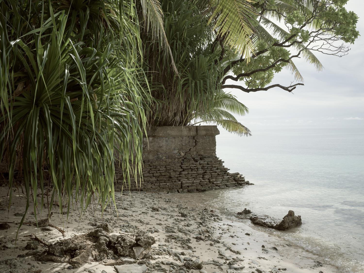
Matthew Arnold’s photographic work strives to connect the specificity and significance of history with the topography of the land on which the history is shaped and the experience of the individual on that land. His newest project "Topography Is Fate—North African Battlefields of World War II," considers the varied landscapes of North Africa that the soldier of World War II was forced to endure. Thousands of miles from home, largely untraveled and ignorant of lands and peoples outside his home country, he was dropped onto the shores of what must have seemed to him a dangerous and alien environment—his understanding of the land limited to stereotype, myth and the relevant army field manual. The approach to this project is conceptual, with the photographs of the North African battlefields presented, similar to the "New Topographic" photographers, in an almost anonymous and neutral tone. The images are taken in daylight, without complexity and noise, portraying a peaceful quietness of the desert or grassland to allow viewers to fill in that negative space with their own visualization of the war. Some World War II battle sites, such as the D-Day beaches of Normandy, are well known and frequently visited. The critical battlefields of the North African campaign, which took place between June 1940 and May 1943, are particularly inaccessible, both because of their geographic location and because they exist within a region that continues to be affected by political strife and violent upheavals. Yet, Arnold traveled from Egypt to Tunisia to document remote World War II battlefields where Axis and Allied forces fought against each other and against the elements amid challenging terrain. The project presented many obstacles, not only in locating all of the sites but also in obtaining the necessary travel documents, finding safe lodging and transport, and avoiding groups of protestors and rebel forces. Arnold utilized World War II military maps to follow the route taken by the Allies. Along the way, he photographed the captivating beauty of the now-peaceful rural landscape, from its craggy coastlines and lowland marshes to its rocky hills and barren expanses of sand. 70 years have not yet eradicated traces of the fighting—campsites can still be found—evident by the amount of ration tins, trench systems and pill boxes that still carry the marks of battle. Unexploded shells, barbed wire and mines still litter the landscapes of North Africa and occasionally claim yet another victim, as if the very land itself is reminding us of the tragedy of war. UPCOMING PROJECT: "Amelia Earhart—The Historical and Mythological Landscape" Amelia Earhart disappeared nearly 78 years ago and yet her legend survives in the many still searching for any evidence of what happened to her on that fateful day in July of 1937. What is it that keeps us so enamoured with Earhart? Is it her bold fearlessness and significant accomplishments as a woman in an era of masculine privilege and dominance? Could the mythology of this figure continue because she disappeared in such an alien environment to most westerners, under such extraordinary circumstances, only a few years prior to the beginning of the second World War, without any trace of her demise? With this new photographic project entitled "Amelia Earhart—The Historical and Mythological Landscape," Matthew Arnold documents the environs in the Central Pacific where Amelia Earhart disappeared during her heroic but ill-fated attempt to be the first woman to circumnavigate the globe by plane in 1937. Arnold was recently able to produce the first stage of this project—a 5 week expedition to the far-reaches of the Pacific, in the Mariana and Marshall Islands to photograph the landscapes surrounding one of the theories of her disappearance. This first expedition was the culmination of a year’s worth of research, funding, and planning.